| LINKAGES are one aspect of the public
realm. The public realm is the space between private property that we can
all enjoy. Analysing these spaces as linkages is to understand its comfort,
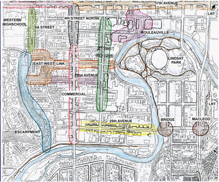
safety and accessibility. This map shows areas we studied and describes why
some areas are appealing and why others lack the positive
attention.
|
|
|
|
|
|
|

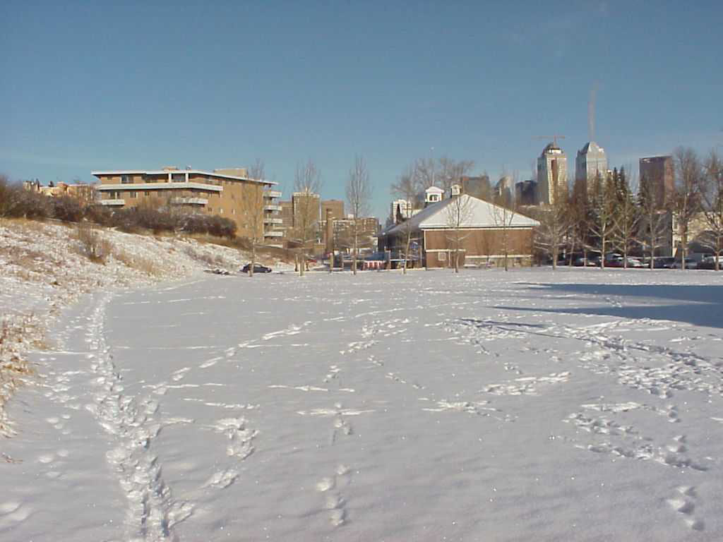
View of the heritage area from the train bridge |
|
Permeability
· Lindsay Park connects to Train bridge, to Cathedral,
to Rouleauville Park Pedestrians are comfortable, and are given the time and information to appreciate the surrounding wealth of history Legibility
· Linear street view 1st Street can site Cathedral,
Rouleauville Park and Monument Lack of continuity with other streets in the area · Holy Cross, St Martin de Porres |
|
· Two-way traffic with parallel parking
Variety
· Residential typology ranges from single family
to high density Responsiveness to Environment Mature trees and sidewalks on both sides protect outdoor human activity |

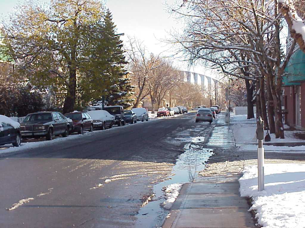
25th Street mixed density on both sides |
|
|
|
· Moderate traffic speed and flow Good consistent environment for pedestrians · Consistent mature tree planting provides protective canopy |
|
|
|
|
· Facades, building typologies, store types Permeability
· Grid pattern, small blocks, human scale
Legibility
· Streetscape, trees, lights, banners Continuity The variety, permeability and legibility respond to the young adult and yuppie context and culture of Cliff Bungalow-Mission and of Calgary. The streetscapes provide continuity to the feel of the area. |
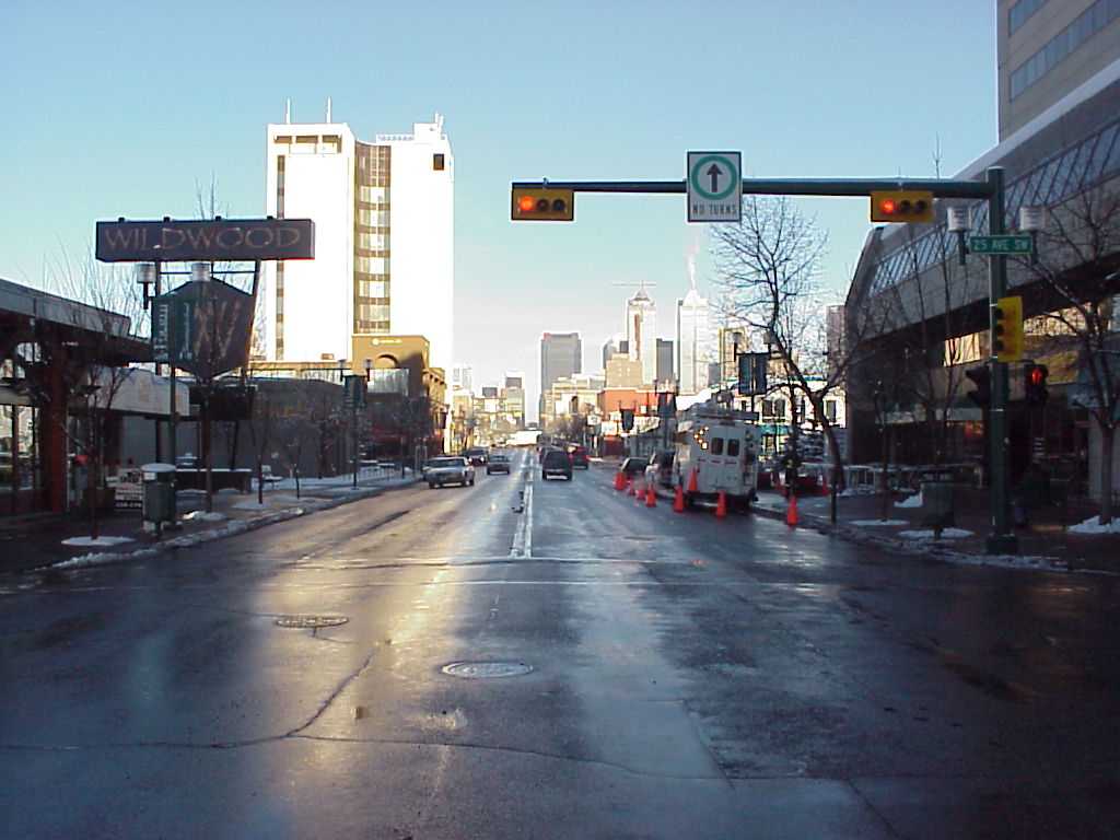
17th Avenue pedestrian friendly environment
|
|
|
|
|
Responsiveness to Culture and Content
· Mature trees, two-way traffic, parallel parking,
residential, open space all contribute to a safe environment Lack of Permeability
· Lack of Continuity Lack of Legibility
· Lack of continuity on the northern tip
|
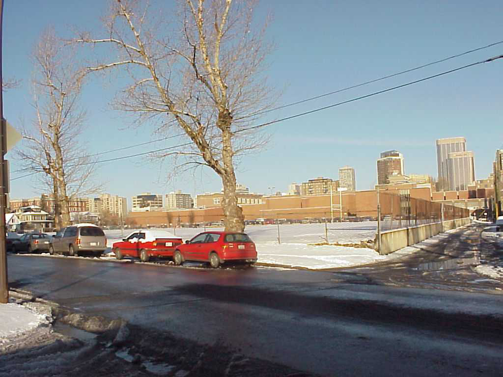 Where is the sidewalk behind Western Highschool? |
|
|
|
|
Lack of Legibility
· Difficult to recognize the purpose of the link
from the opposite end Continuity of existing grid helps to orient users
· General atmosphere of the neighbourhood is
safe |
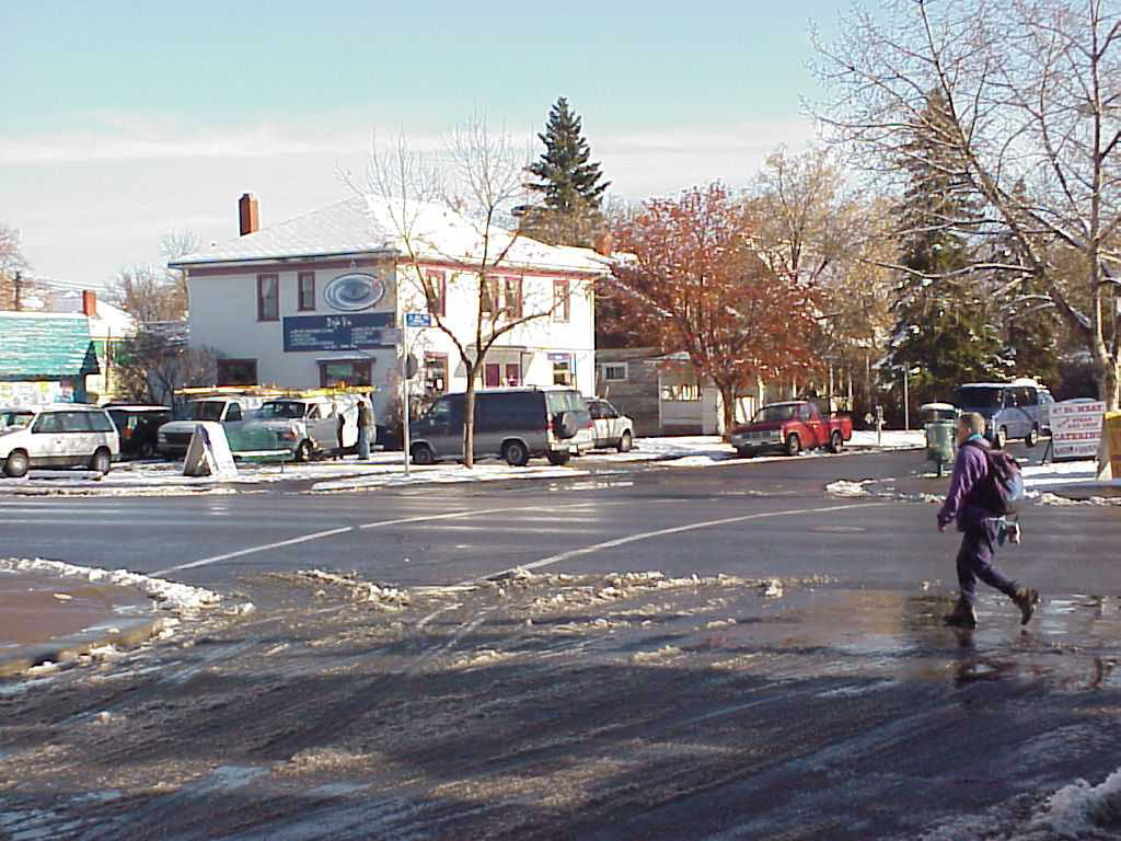 Crossing 4th Street via East-West Link to Lindsay Park |
· Building typology is large Legibility of 4th Street 'The People Street' does not work North of 17th |
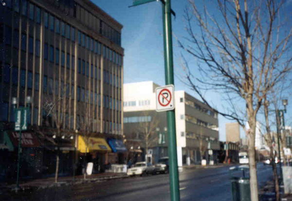 Large building on 4th Street |
|
|
|
 Old and new facades of Holy Cross Hospital |
|
|
Lack of legibility
· Street treatment of the historic area does not
continue Permeability
· 2nd Street is one-way, acts as a thoroughfare
for commuters
Sidewalks have boulevards with trees |
|
|
|
|
The linkage at does not have greater activity or function at either end Lack of safe crossings |
|
|
|
|
|
Lack of Legibility
· No street treatment Lack of Permeability
· Unsafe sidewalk, disrupted Pedestrian overpass is slightly further north
· Missed opportunity Lack of Variety
· Numerous automotive industry shops Pedestrian activity are isolated in islands of lost space Future Planning This area is an opportunity to develop for the future. Design and planning is for the future. Vacant surrounding land is being built up into townhouses and condos, these residents could contribute to the pedestrian environment of 17th Ave. |
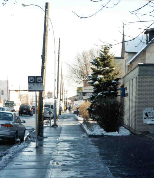 17th Street without street treatment |
|
|
|
|
Lack of permeability
· Sidewalk is on only one side of the bridge
Lack of Legibility · Pathway to LRT is not easily understood at the other end of the link |
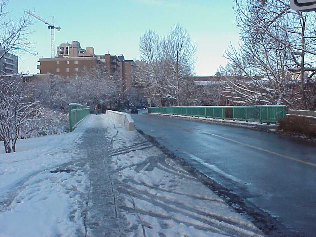
25th Street Bridge bottleneck
|

